The Plan Was Vacated, the Rigs Kept Turning: Converse County, Wyoming Minerals
MINERAL RIGHTS & ROYALTIES
What could your mineral rights be worth?
Tell us a little about your interest. Get a free, no-obligation review from Selling My Mineral Rights.
If you own minerals in Converse County, you have probably seen the headlines: a federal judge in Washington threw out the Bureau of Land Management’s approval of a 5,000-well drilling plan covering 1.5 million acres of your county, then threw it out a second time. Does that stop the well that was supposed to be drilled through your section, and what does it do to what your interest is worth? The rulings changed the paperwork path, not the drilling. Beyond that, the answer turns on three things: whether your minerals are already producing, whether the drilling unit over them includes a federal lease, and how long a buyer is willing to wait.
The 2020 Decision Was a Framework, Not a Permit
On December 23, 2020, BLM Wyoming issued a Record of Decision for the Converse County Oil and Gas Project: up to 5,000 new oil and gas wells over the life of the project across a 1.5 million-acre area, together with an amendment to the 2007 Casper Field Office Resource Management Plan allowing year-round drilling while continuing to protect non-eagle raptors and their habitat.
BLM was explicit that the decision authorized no activity on the ground: construction and development still required separate site-specific review and approval. For a mineral owner, that matters far more than the headline number. Five thousand wells was a ceiling for analysis, not a commitment to drill and certainly not a schedule.
Two Rulings, Seventeen Months Apart
The Powder River Basin Resource Council and Western Watersheds Project challenged the approval in Powder River Basin Resource Council v. U.S. Department of the Interior, No. 1:22-cv-02696 (D.D.C.), before Judge Tanya Chutkan. Three dates matter:
- September 13, 2024. The court found BLM violated the National Environmental Policy Act by using an unsupported specific storage value in its groundwater drawdown modeling, and blocked further permit-to-drill approvals based on the project’s environmental impact statement.
- June 6, 2025. BLM redid the modeling and issued a finding of no significant impact for groundwater, while conceding that the decision did not lift the court’s hold on permits.
- February 27, 2026. The court vacated both the environmental impact statement and the Record of Decision and sent the project back, this time over alternatives: BLM had dismissed a paced-development option, and the court wrote that a slower pace of development is not inconsistent with the agency’s stated purpose and need.
Why the Rigs Did Not Stop
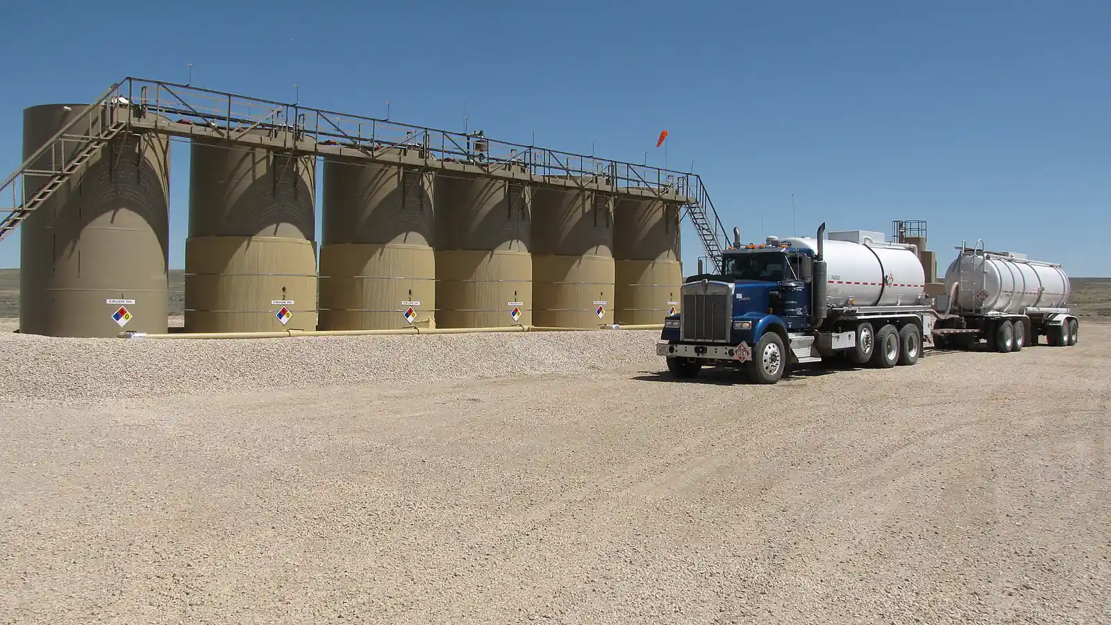
The Converse County project was an amendment layered on top of the Casper Resource Management Plan, approved in July 2007. That underlying plan was not before the court and survived. BLM Wyoming has said it is still issuing permits under it, and Wyoming reporting put the number at more than 200 wells approved in 2025 on that track. When the plaintiffs asked to add 255 permits issued since August 2025 to their case, the court declined as too late to amend.
What changed for owners is pace and predictability. Permitting moved from one program-level document covering the whole county to well-by-well environmental assessments and categorical exclusions, which is slower and far lumpier. The relief the 2020 decision granted, year-round drilling in place of the older plan’s seasonal wildlife timing limits, is also no longer there to rely on. A spud date can slide by a season for reasons that have nothing to do with your rock or your lease.
Fee Minerals, Federal Minerals, and Whose Permit You Are Waiting On
BLM describes the project area as mostly private surface over federal subsurface: classic split estate, with fee minerals interspersed through it. This is where owners get caught out.
The Wyoming Oil and Gas Conservation Commission can pool separately owned tracts into a drilling unit under W.S. 30-5-109. It cannot pool a federal lease. A federal tract is brought into the unit by a communitization agreement that BLM approves, and once it is approved, operations or production under that agreement are deemed to be operations or production as to each lease committed to it (43 CFR 3105.22). So a fee mineral owner whose section shares a unit with federal acreage is waiting on a federal process even though their own minerals are entirely private, while a unit made up only of fee and state tracts never touched the Converse County environmental impact statement at all. Look up the drilling unit before assuming which describes you.
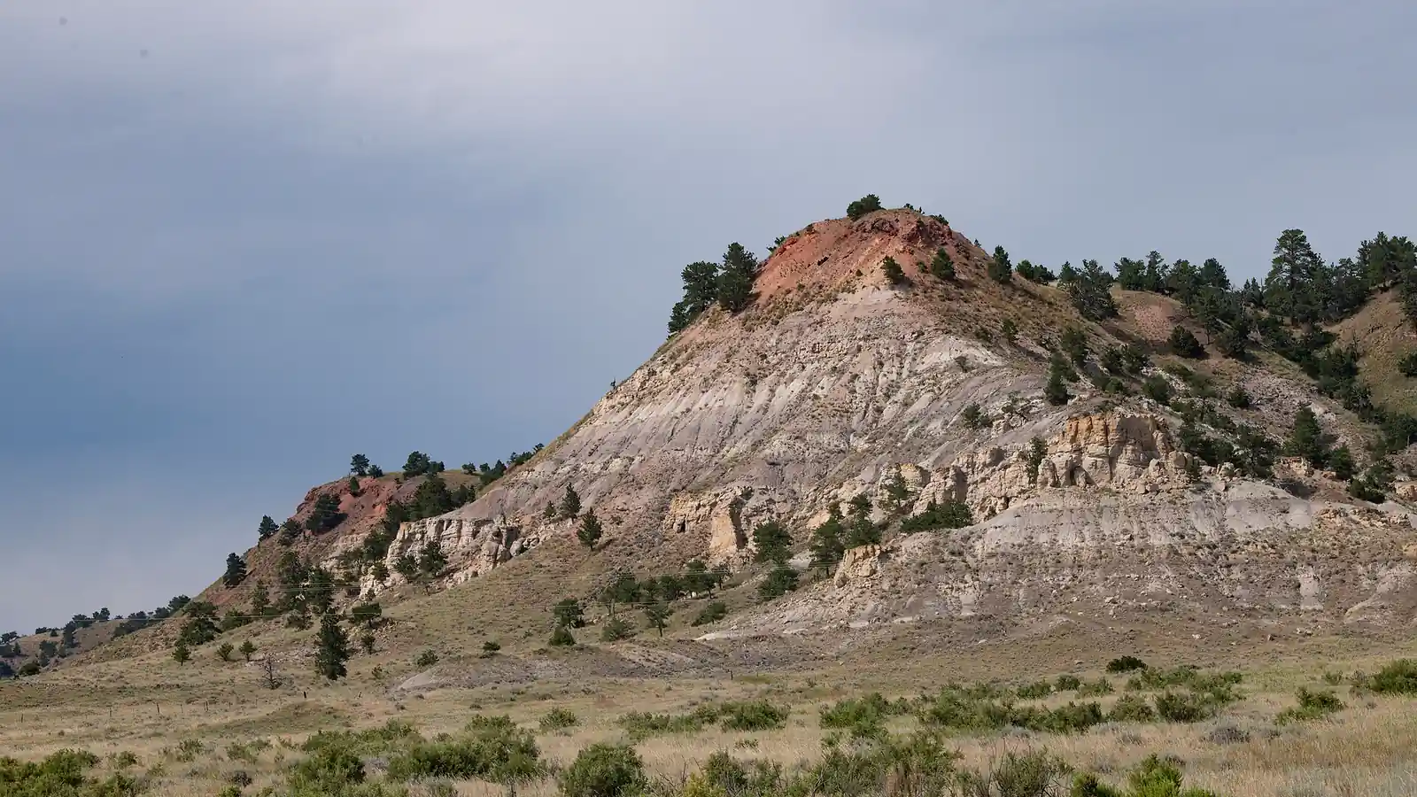
Campbell County, immediately north, produces from the same Niobrara, Parkman, Turner and Mowry targets and draws on many of the same operators, but it lies outside the 1.5 million-acre project area, so none of this litigation history reaches it. An owner with tracts on both sides of that county line holds two different permitting stories, which is why we treat Campbell County mineral rights as a separate valuation question rather than a northern extension of this one.
What Is Already Drilled Keeps Paying
Neither ruling touches a producing well. Converse was Wyoming’s largest oil-producing county in 2025, ahead of Campbell’s 24.1 million barrels, and ranks third in natural gas behind Sublette and Sweetwater. The productive column runs from the shallower Upper Cretaceous sandstones, the Shannon, Sussex, Parkman and Teapot, down through the Niobrara, the Turner and the Mowry, so a tract can see a new well aimed at a different zone years after the first one.
Those checks run on Wyoming’s Royalty Payment Act, which sets the payment deadlines, charges 18 percent interest on late amounts, and requires the stub to itemize volume, price, taxes and deductions under W.S. 30-5-305(b). Our guide to reading a Wyoming royalty check walks through those line items. Taxes come off the top either way: 6 percent severance, 4 percent for qualifying stripper oil wells, plus county ad valorem tax on production, which averaged roughly 64 mills statewide in 2024.
What a Delay Is Actually Worth
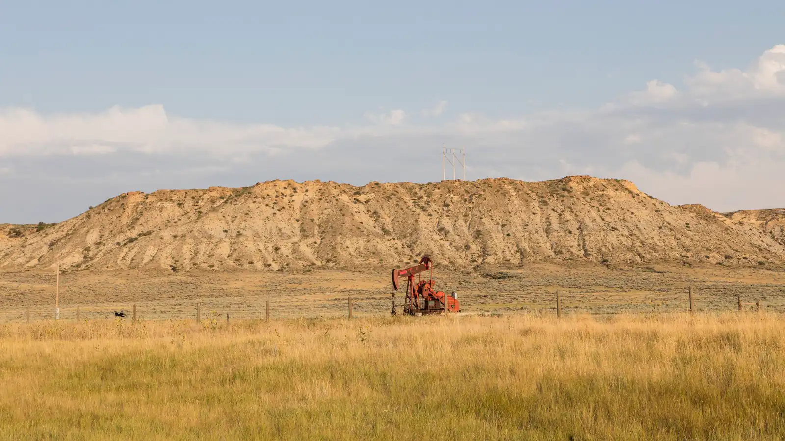
An offer on a Converse County interest is two numbers added together: one prices royalty from wells already producing, driven by decline and price; the other prices undeveloped upside, driven by the odds a well gets drilled and by when. Who drills it is not fixed either. Continental Resources, Devon Energy and Anschutz Exploration all intervened to defend the project, and Occidental reports about 0.2 million net acres in the basin, mainly in Converse and Campbell counties. Yet Bloomberg reported in July 2026 that Devon was weighing a sale of its Powder River assets, and Devon confirmed a portfolio review that August; nothing had been announced as of early November 2026.
Timing alone is arithmetic. Using a 10 percent annual discount rate purely to show the shape of the effect, not as a quote of anyone’s market rate, a dollar of royalty you now expect four years later than you did is worth about 68 cents of the earlier figure; push it out six years and it is worth about 56 cents. That is before any discount for whether the well is drilled at all. It is why a careful buyer asks whether your section has an approved permit, an application pending, or nothing filed, and why no one can responsibly quote a per-acre number from a legal description alone.
Your decimal has not changed through any of this: net mineral acres divided by unit acres, multiplied by your royalty rate. Confirm the unit size before checking anyone’s math, because here the unit also tells you whether federal acreage is involved.
When Waiting Is the Better Trade
If your interest sits in a producing unit with recent completions and an operator holding permits, time is working for you and there is rarely a reason to sell into uncertainty. If your acreage is undeveloped, unleased, inside the project area with nothing on file, and about to be divided among heirs who disagree about it, the delay is a real cost. Selling a fraction and keeping the rest is often the honest middle: it turns some of the waiting into cash without giving up the zone nobody has drilled yet.
Check Your Position in Douglas First
Three records settle most of this. The Converse County Clerk records conveyances and mineral deeds at 107 North 5th Street, Suite 114 in Douglas, recording hours 8:00 to 4:00; that chain tells you what you own and in what fraction. The Commission’s well and permit records, searchable by township and range, tell you what is drilled, permitted or merely proposed over your description. BLM’s ePlanning site carries the environmental assessments behind the permits still being issued. Together they answer the question that comes before price: is this a producing interest, a permitted one, or a patient one?
If you want a straight read on where your tract falls, send us the legal description, a check stub or a lease. Start with our Converse County mineral rights page, which covers how we value interests here and carries a form that reaches us directly. If you hold acreage elsewhere in the state, our guide to sell Wyoming mineral rights covers all seven counties we buy in. You can also contact us and we will come back with a number and the reasoning behind it.
Sources: BLM Wyoming, Record of Decision announcement for the Converse County Oil and Gas Project (December 23, 2020) and groundwater analysis update (June 6, 2025); Powder River Basin Resource Council v. U.S. Department of the Interior, No. 1:22-cv-02696 (D.D.C.), rulings of September 13, 2024 and February 27, 2026; WyoFile and Cowboy State Daily reporting on that ruling and on continued permitting under the 2007 Casper Resource Management Plan; 43 CFR 3105.22; W.S. 30-5-109 and 30-5-305; WOGCC production data by county, 2025; Petroleum Association of Wyoming, Facts and Figures; Occidental Petroleum FY2025 annual report; Bloomberg News on Devon Energy, July 2026; Converse County Clerk. General information, not legal or tax advice.
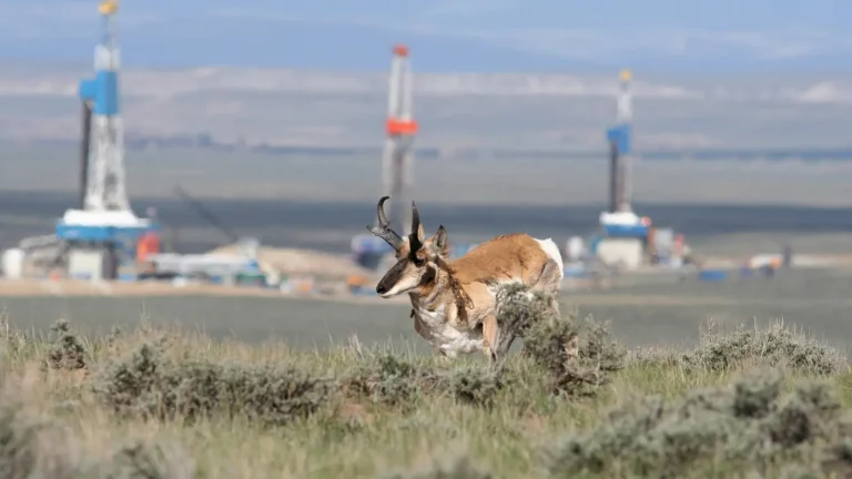
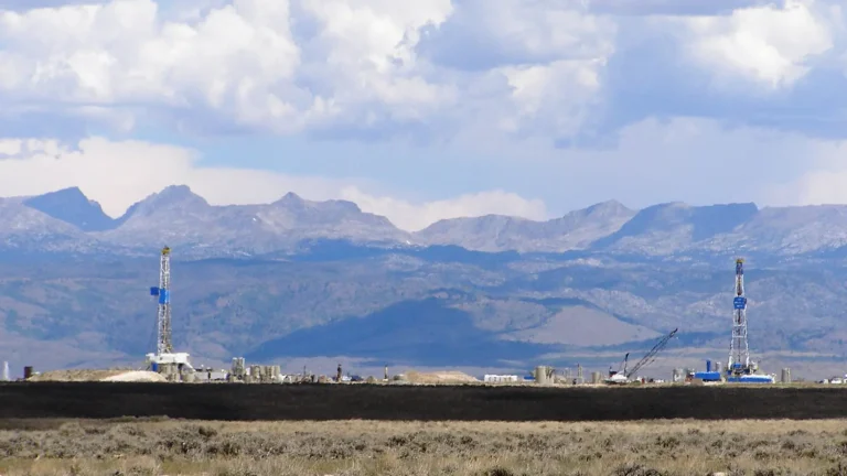
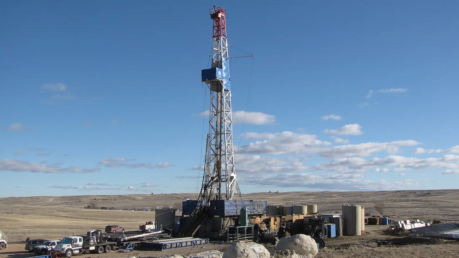
Photos: David Korzilius, Bureau of Land Management / Wikimedia Commons, public domain (drilling rig and tank battery); Lance Cheung, USDA / Wikimedia Commons, public domain; Carol M. Highsmith, Library of Congress / Wikimedia Commons, public domain.
MINERAL RIGHTS & ROYALTIES
Ready to explore an offer for your mineral rights?
Tell us a little about your interest. Get a free, no-obligation review from Selling My Mineral Rights.